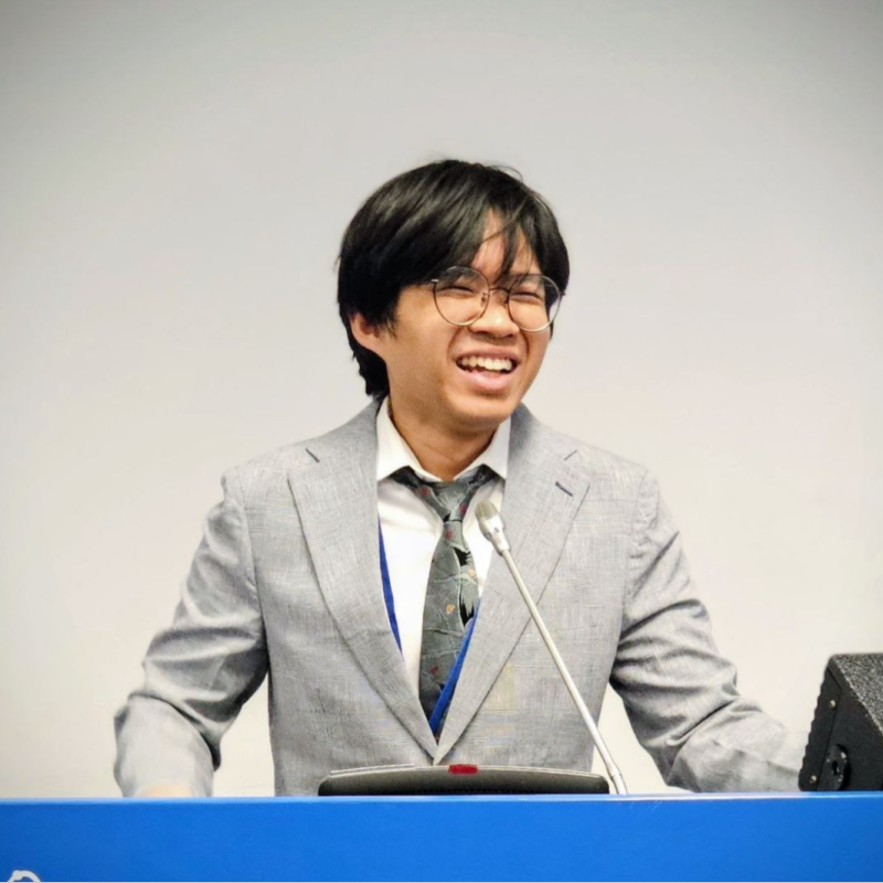
Researcher · geospatial developer
Satellite data, turned into decisions people can act on.
I build the pipelines and platforms that move remote-sensing products from raw scenes to the people who need them — and photograph the world with the same attention.
11Projects shipped
1.2kUsers reached
6Frames published
4Years building
Geospatial platform · Earth Observatory of Singapore · 2024
SARFinder
Selected work
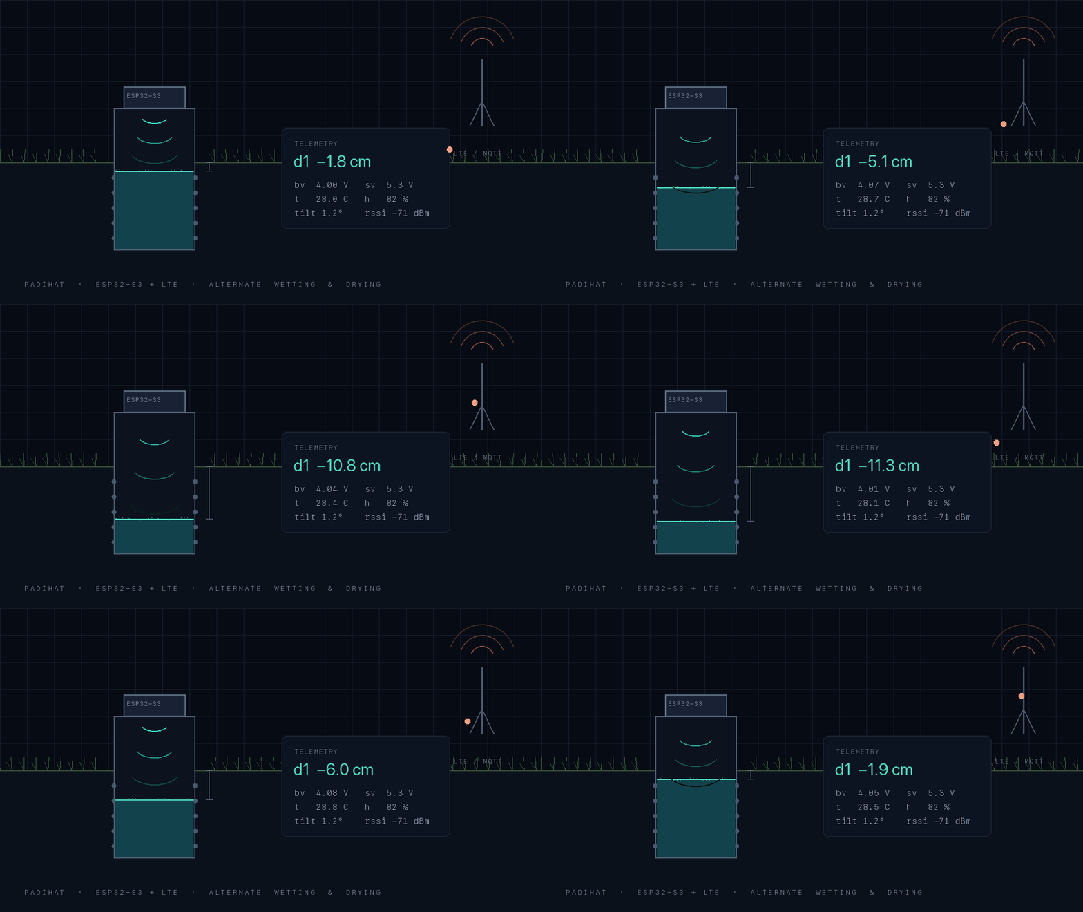
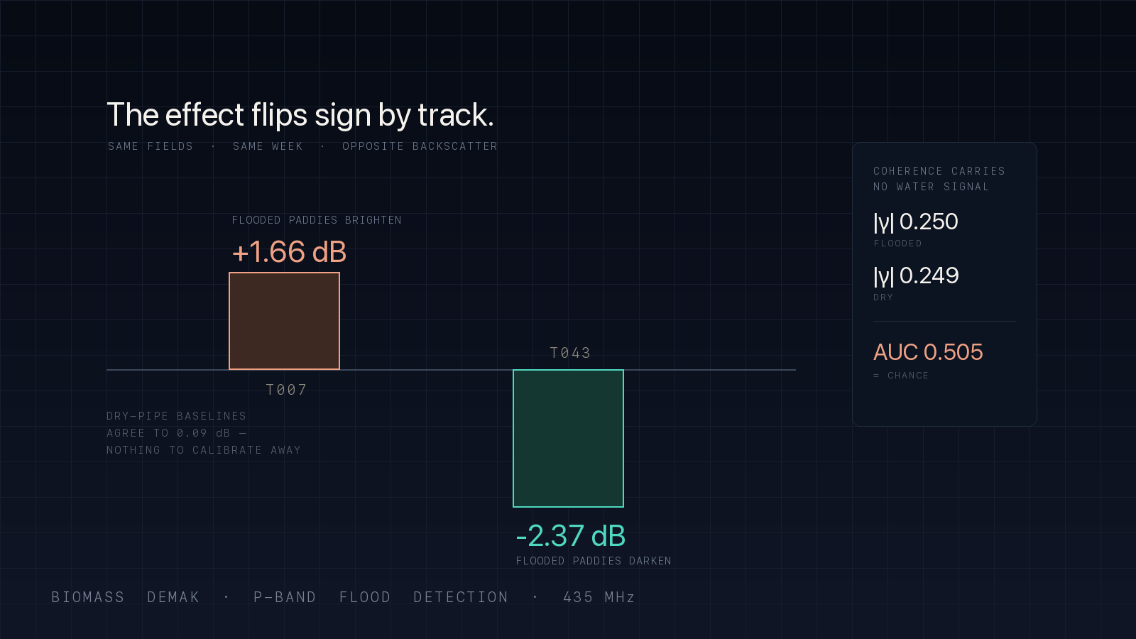
3 of 11 shown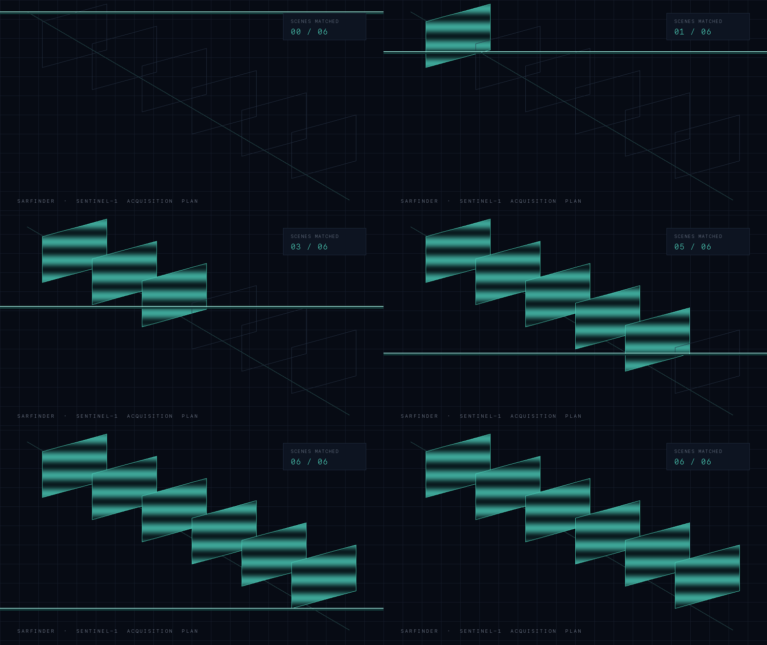
Photographs
See all 6 →Two rows, drifting opposite ways — hover to hold them, click any frame for full size.
What I work with
A range that spans hardware to software, research to art.
Learning
Self Learner
Always growing
Software
Full-Stack Development
End-to-end systems
Software
Machine Learning
Intelligent models
Hardware
IoT
Connected devices
Hardware
PCB Design
Circuit design
Design
3D Modelling
CAD & digital sculpting
Craft
Research
Deep investigation
Hardware
Hardware
Physical systems
Art
Digital Art
Creative expression
Art
Photography
Capturing moments
Notes
How I connect ideas.
I keep a personal knowledge graph — workshops, classes, bootcamps, and school partnerships — cross-linked so ideas from one domain surface when I'm working in another.
WorkshopsClassesBootcampsSchool partnerships
Let's talk.
Research, geospatial work, hardware, or the space in between.